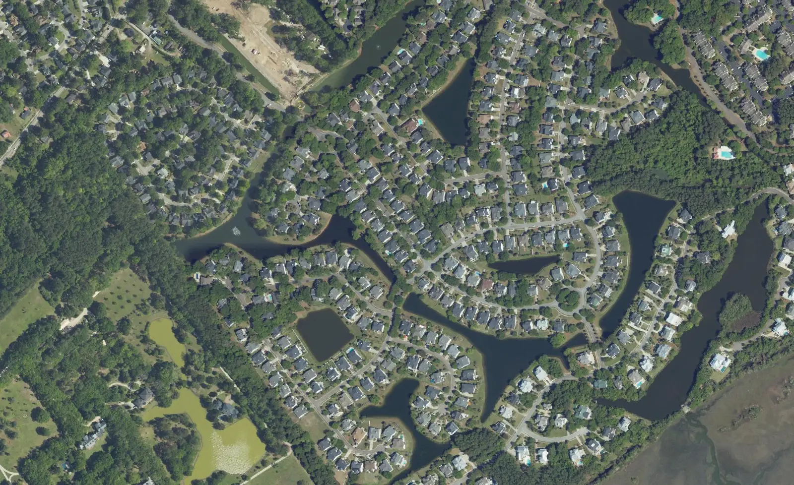
Seaside Farms and the Rifle Range Road area span ZIP codes 29464 and 29466 and two high school zones, Beckham and Wando. Typical 29464 value: $933,192.
Last checked Oct. 16, 2026. Sources: the Town of Mount Pleasant’s GIS map services (address points, zoning overlays, land use plan hubs and redevelopment centers, subdivisions, parks) and Settlement Communities report, Charleston County School District’s school lookup map, the South Carolina school report cards, CARTA, Zillow Research and OpenStreetMap.
South of U.S. 17 between Bowman Road and Six Mile Road, the land runs from the highway’s shopping centers down Rifle Range Road to the marsh behind Sullivan’s Island and the Isle of Palms. The town’s subdivision map names Seaside Farms, its zoning map marks a Seaside Farms mixed-use overlay, and its land use plan names Seaside Farms a community-scale hub. The area has 4,621 addresses in the town’s address file: 73% in ZIP code 29464 and 27% in 29466.
What this means for you
- Zoned high school: Lucy Garrett Beckham High for 73% of the addresses we checked and Wando High for 27%; both were rated Excellent on their 2025 state report cards. Check yours with the district’s school lookup tool.
- Home value: $933,192 in ZIP code 29464 and $835,506 in 29466 in September 2026, according to the Zillow Home Value Index.
- Nearest interstate exit: I-526 Exits 29 and 30, the U.S. 17 interchange, about 2.7 miles by road from Seaside Farms.
Part of our Mount Pleasant neighborhoods guide.
Where it is
For this guide the area runs south of U.S. 17 from Bowman Road east to Six Mile Road and south to the marsh. The boundary lines are ours, drawn along those roads; the names come from the town and OpenStreetMap. Main roads are Rifle Range Road, Hungry Neck Boulevard, Venning Road, Bowman Road and the Isle of Palms Connector (S.C. 517), which crosses the marsh to the Isle of Palms.
Besides Seaside Farms, OpenStreetMap places Cassina Heights, Shell Landing, Watermark and Moss Park here. The town’s zoning map puts a 413-acre redevelopment center around the U.S. 17 and I-526 interchange, which its land use plan calls the “526 Hub,” and a Six Mile mixed-use overlay at the U.S. 17 end of Six Mile Road.
The town’s Settlement Communities report includes Four Mile, founded in the 1860s after the Civil War. It names the Scott, Gold, Gathers and Maxwell families as its main families and says the building of Hungry Neck Boulevard and the commercial development after it threaten the community’s historical identity.
Schools
We checked all 4,621 addresses against Charleston County School District’s attendance boundaries in its school lookup map (elementary zones for 2026-27, middle and high school zones for 2025-26). The high school line runs through the area.
| Level | School | Share of addresses | 2025 state rating |
|---|---|---|---|
| Elementary | Mamie P. Whitesides Elementary, 1565 Rifle Range Road | 97% | Excellent |
| Middle | Moultrie Middle, 645 Coleman Blvd. | 98% | Excellent |
| High | Lucy Garrett Beckham High, 1560 Mathis Ferry Road | 73% | Excellent |
| High | Wando High, 1000 Warrior Way | 27% | Excellent |
A few addresses at the edges were zoned for Jennie Moore or James B. Edwards elementary and Laing Middle. Ratings are the overall ratings on the state’s 2025 report cards. The 2025 graduation rates were 95.5% at Beckham and 94.2% at Wando. Because two high school zones meet here, check the exact address with the school lookup tool. More in our schools guide.
Home values
The Zillow Home Value Index was $933,192 in ZIP code 29464 in September 2026, up 3.0% from $906,136 a year earlier, and $835,506 in 29466, up 0.9% from $827,979. Zillow’s figure for Mount Pleasant as a whole was $871,681. The index is a modeled typical value for the middle third of homes, not a sale price, and each ZIP code covers far more than this area. More in our home prices guide.
Parks and trails
From the town’s parks layer and its Leash Up MTP page:
- Marsh View Trail, 1619 Rifle Range Road, between Mamie P. Whitesides Elementary and the Mount Pleasant Waterworks plant: a marsh trail with one of the town’s off-leash dog parks. The town’s parks layer says a Civil War battery, Venning’s Landing Battery, stood at the end of Venning Road nearby.
- Fort Palmetto Park, 2213 N. Palmetto Fort Drive, is just east of Six Mile Road; see our Six Mile and Hamlin page.
More in our parks and trails guide and walking and biking trails guide.
Getting around
- Interstate: I-526 Exits 29 and 30, the U.S. 17 interchange, are about 2.7 miles by road from Dahlia Road in Seaside Farms; Exit 28, Long Point Road, is about 3.6 miles. Exit numbers are as mapped on OpenStreetMap.
- Town offices, 100 Ann Edwards Lane: about 5 miles.
- Charleston International Airport, 5500 International Blvd., North Charleston: about 20 miles.
- Bus: CARTA’s timed stops here are Hungry Neck Boulevard at Theatre Drive (Routes 40 and 42), Wando Crossing Shopping Center (Routes 40 and 41) and Six Mile Road at Goodwill (Route 42), according to CARTA’s Route 40 and Route 42 brochures and its maps and schedules.
Distances are measured on the OpenStreetMap road network from Dahlia Road; they are distances, not drive times. More in our getting around guide.
Groceries and everyday stores
This stretch of U.S. 17 is one of the town’s main shopping areas. From OpenStreetMap:
- Supermarkets: Walmart Supercenter, 1481 U.S. 17 N.; Target, 1300 Long Grove Drive; Harris Teeter, 2195 Tea Planter Lane; The Fresh Market, 1118 Bowman Road; Trader Joe’s near the Isle of Palms Connector.
- Shopping centers: Wando Crossing, 1500 U.S. 17 N., and Bowman Place on Bowman Road.
More in our new businesses and holiday shopping guides.
Frequently asked questions
What high school is Seaside Farms zoned for?
It depends on the address. In Charleston County School District’s zones, 73% of the addresses we checked in the Seaside Farms and Rifle Range Road area were zoned for Lucy Garrett Beckham High and 27% for Wando High. Both were rated Excellent on their 2025 state report cards.
What elementary school serves Seaside Farms?
Mamie P. Whitesides Elementary, 1565 Rifle Range Road, for 97% of the addresses we checked, with Moultrie Middle for 98%. Both were rated Excellent on their 2025 state report cards.
What ZIP code is Seaside Farms in?
Most of the area, 73% of the addresses in the town’s file, is in ZIP code 29464; the rest, toward Six Mile Road, is in 29466. Zillow’s typical values in September 2026 were $933,192 in 29464 and $835,506 in 29466.
What bus serves Hungry Neck Boulevard?
CARTA Routes 40 and 42 have a timed stop at Hungry Neck Boulevard and Theatre Drive, and Routes 40 and 41 stop at Wando Crossing Shopping Center on U.S. 17.
Have your say