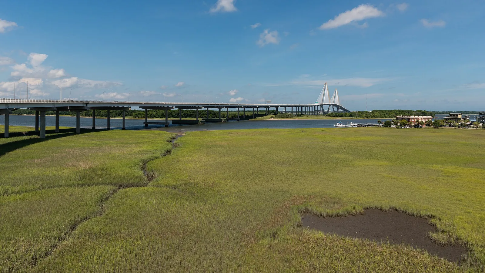
Wonders' Way over the Ravenel Bridge (2.7 miles), Shem Creek's boardwalk, Laurel Hill, Palmetto Islands and the Mount Pleasant Way paths, with parking.
Last checked Oct. 16, 2026. Distances come from SC Trails, the Town of Mount Pleasant’s walking trails guide and Charleston County Parks, and trail projects from the town’s Mount Pleasant Way page.
Mount Pleasant’s trails split into three kinds: the bridge, the boardwalks over the marsh and the woods trails in the county parks. The town is also building Mount Pleasant Way, a network of paved multiuse paths linking parks, schools and neighborhoods, a segment at a time.
Who to call
- Town transportation (Mount Pleasant Way): 843-856-3080
- Charleston County Parks: 843-795-4386
- Town Recreation Department: 843-884-8517
At a glance
| Trail | Length | Surface | Dogs | Parking |
|---|---|---|---|---|
| Wonders’ Way (Ravenel Bridge) | 2.7 miles one way | Paved, 12 feet wide | No | Memorial Waterfront Park, visitor center |
| Shem Creek Park boardwalk | More than 2,000 feet | Boardwalk | Town leash law applies | Shem Creek Park, Shrimp Boat Lane |
| Mount Pleasant Pier | 1,250 feet | Pier | No | Memorial Waterfront Park |
| Patriots Point Nature Trail | 0.9 mile round trip | Stone | Leashed | Small lot off Patriots Point Road |
| Laurel Hill County Park | Several miles | Unpaved | See park rules | Park lot; $1 entry |
| Palmetto Islands County Park | Loops of paved trail and boardwalk | Paved, boardwalk | Off-leash dog park on site | Park lot; $2 entry |
| Marsh View Trail | Quarter mile | Trail | Off-leash dog park on site | Trailhead lot |
Wonders’ Way
Wonders’ Way is the 2.7-mile walking and biking path on the Arthur Ravenel Jr. Bridge, from Patriots Point Road in Mount Pleasant to East Bay and Cooper streets in Charleston. The 12-foot path is named for Garrett Wonders, a cyclist killed in a crash while training for the 2004 Olympic Trials. SC Trails rates it moderate. Park in Mount Pleasant at the visitor center beside the bridge, which has several lots, the pier and restrooms. No pets.
Boardwalks and the waterfront
- Shem Creek Park, Shrimp Boat Lane: more than 2,000 feet of boardwalk over the marsh and tidal creek, with views of the harbor, the town says. See our Shem Creek guide.
- Memorial Waterfront Park and the Mount Pleasant Pier, 99 Harry Hallman Blvd.: the 1,250-foot pier runs into Charleston Harbor under the Ravenel Bridge. No pets on the pier.
- Cooper River Waterfront Path: a natural dirt-and-shell trail along the Cooper River linking Memorial Waterfront Park to Patriots Point Road.
- Pitt Street Bridge at the end of the Old Village: the old road to Sullivan’s Island, now a park path under palmettos and a favorite sunset spot.
Nature trails
- Patriots Point Nature Trail: a flat 0.9-mile out-and-back stone trail through woods between the ball fields and the golf course, ending at an observation tower over the marsh. Open dawn to dusk. Park in the small lot about 0.2 mile down Patriots Point Road from West Coleman Boulevard, opposite the Omar Shrine Center. Dog waste bags at both ends; bring insect repellent in warm months.
- Hog Island Trail and Observation Deck, also at Patriots Point: an easy walk through salt marsh with views of the harbor and downtown Charleston.
- Laurel Hill County Park: a 745-acre rustic park with several miles of unpaved trails through woods, meadows and an oak allee, and a lake overlook. Sunrise to sunset; $1, free for Gold Pass members and children 2 and under. No restrooms.
- Palmetto Islands County Park, 444 Needlerush Parkway: paved trails and boardwalks looping around marsh islands, the 50-foot Nature Island tower and bike rentals from 10 a.m., $5 an hour or $15 a day. $2 entry.
- Marsh View Trail: a quarter-mile trail on a 57-acre conservation easement, past a pollinator garden to a view of salt flats and marsh, managed by Mount Pleasant Waterworks.
- Kearns Park Trail, Etiwan Pointe Drive: a maritime forest walk along the Wando River with benches and signs.
- Fort Palmetto Park Trail: straight paths and looping boardwalks to a two-story lookout deck facing the Isle of Palms.
Mount Pleasant Way: the new paths
The town’s master plan for Mount Pleasant Way is complete, and segments are built as money allows, according to its project page. Recent and coming segments, from each project page:
| Segment | Where | Status |
|---|---|---|
| Hamlin Trail | Rifle Range Road, from the Rifle Range Trails parking area toward U.S. 17 | 10-foot path; construction scheduled to finish May 2024 |
| Sweetgrass Basket Parkway Trail | Palmetto Plantation Parkway to the IOP Connector | Complete, April 2024 |
| Patriots Point Trail | Patriots Point Road, Coleman Boulevard to Bridgeside Boulevard | Quarter-mile link; construction scheduled for summer to late 2025 |
| Kenny Mile | Park West across U.S. 17 to Porcher’s Bluff Road | About 1 mile; construction May 2026 to May 2027 |
| Mathis Ferry Trail | Wingo Way to U.S. 17 at Venning Road | 3.5 miles; planned |
| IOP Connector Trail | Sweetgrass Basket Parkway to Rifle Range Road | In design |
Related guides
Frequently asked questions
How long is the Ravenel Bridge walk?
Wonders’ Way, the walking and biking path on the Arthur Ravenel Jr. Bridge, is 2.7 miles one way, from Patriots Point Road in Mount Pleasant to East Bay and Cooper streets in Charleston. It is a 12-foot-wide paved path.
Where do I park to walk the Ravenel Bridge from Mount Pleasant?
SC Trails recommends parking in Mount Pleasant at the visitor center beside the bridge at Memorial Waterfront Park, which has several lots, the pier and restrooms.
Can I bring my dog on Wonders’ Way?
No. The town’s trail guide says pets are not allowed on Wonders’ Way or the Mount Pleasant Pier. Leashed dogs are allowed on the Patriots Point Nature Trail.
Where can I hike on dirt trails in Mount Pleasant?
Laurel Hill County Park, a 745-acre nature park, has several miles of unpaved trails through woods, meadows and an oak allee. It is open sunrise to sunset; admission is $1, and there are no restrooms.
Have your say