U.S. 17 and I-526 carry Mount Pleasant traffic; CARTA Routes 40, 41 and 42 and the XP2 express serve the town; Charleston International Airport is in North Charleston.
Last checked Oct. 16, 2026. Sources: CARTA’s maps and schedules and route brochures, the Charleston County Aviation Authority, the Town of Mount Pleasant’s transportation project pages and Experience Mount Pleasant. Road work is in our road construction and closures guide.
Mount Pleasant is a driving town built along U.S. 17, with I-526 running through its west side. CARTA buses link it with downtown Charleston, and the Ravenel Bridge has its own walking and biking path.
Who to call
- State roads (U.S. 17, I-526, Coleman Boulevard, S.C. 41): SCDOT, 855-467-2368
- Town road and sidewalk projects: Engineering and Development Services, 843-856-3080
- Live traffic: dial 511 or 511sc.org
- CARTA buses: 843-724-7420, askcarta@ridecarta.com
The main roads
The busiest roads belong to the South Carolina Department of Transportation (SCDOT):
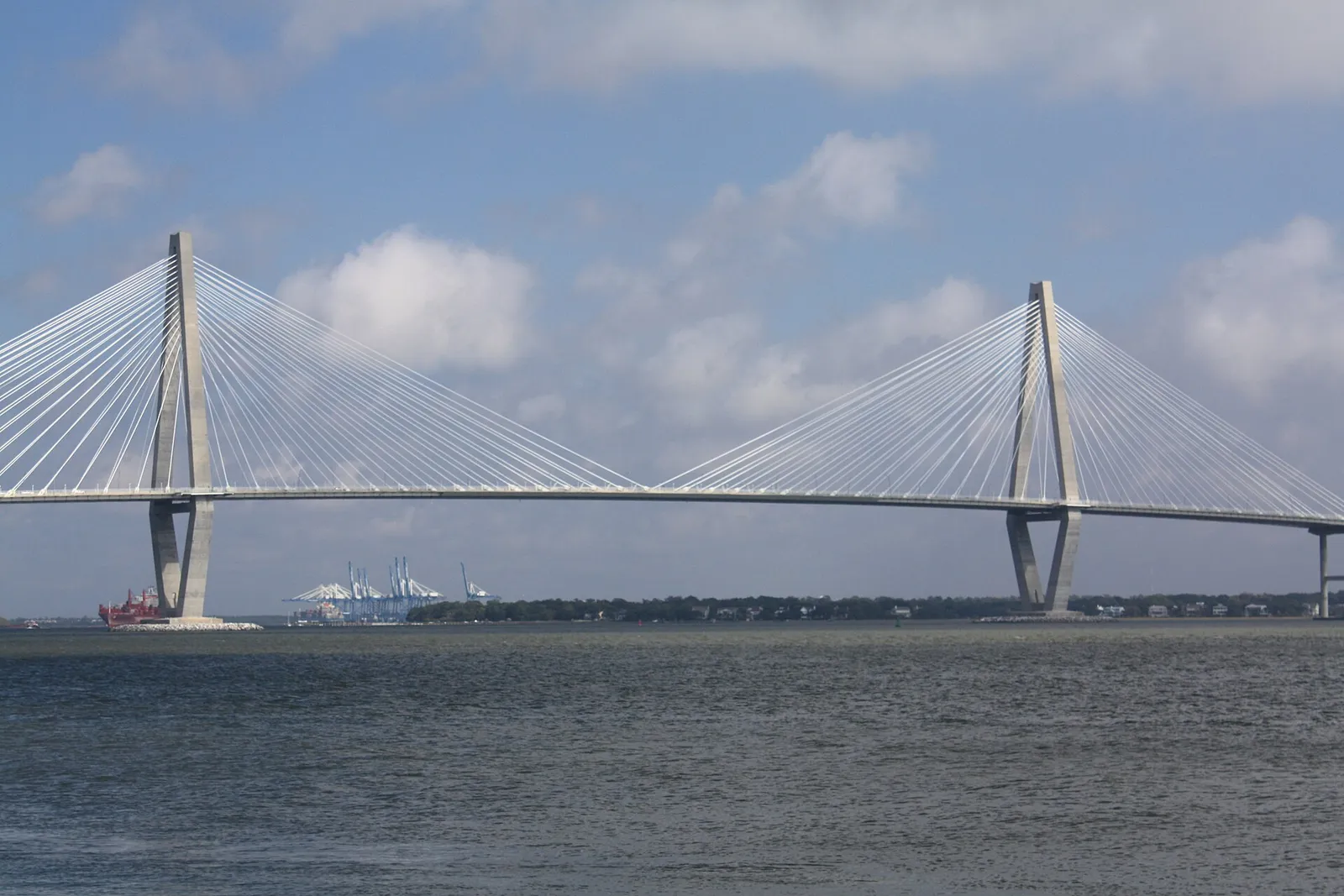
- U.S. 17 comes over the Cooper River on the Arthur Ravenel Jr. Bridge, runs through town as Johnnie Dodds Boulevard and continues north toward Awendaw.
- I-526 runs through the west side of town. Long Point Road is Exit 28, where the town is building a slip lane and SCDOT is planning a larger rebuild.
- Coleman Boulevard passes Shem Creek and carries CARTA Route 41.
- S.C. 41 meets U.S. 17 in the north of town and runs past Park West and Dunes West.
The town is building a parallel route: the Billy Swails Boulevard extension, the last link of the old Hungryneck Boulevard corridor, with a 10-foot path alongside. Status for every project is in our road construction guide.
CARTA buses
The Charleston Area Regional Transportation Authority (CARTA) runs these routes in Mount Pleasant, from its maps and schedules page:
| Route | Name | Main stops, from CARTA’s brochure |
|---|---|---|
| 40 | Mt. Pleasant | Hungry Neck Boulevard at Theatre Drive, Wando Crossing Shopping Center, East Cooper Hospital, Houston Northcutt Boulevard at Ann Edwards Lane, Mary and Meeting streets downtown |
| 41 | Coleman Blvd | Mary and Meeting streets, Waterfront Park and the Mount Pleasant Visitor Center, Coleman Boulevard at Mill Street (Shem Creek), Rifle Range Road at Ben Sawyer Boulevard, Wando Crossing |
| 42 | Wando Circulator | Hungry Neck Boulevard, Six Mile Road, Oakland Plantation, Wando High School, Mount Pleasant Hospital, U.S. 17 at S.C. 41 |
| XP2 | Mt. Pleasant - West Ashley express | Commuter express; see the express brochure |
| 8 | Beach Reach Shuttle (seasonal, free) | Mount Pleasant Towne Centre to Isle of Palms County Park |
Routes 40 and 42 run about once an hour on weekdays, according to CARTA’s Route 40 and Route 42 brochures. Plan a trip with CARTA’s trip planner; its maps page also has a live transit map.
The airport
Charleston International Airport (CHS) is at 5500 International Blvd. in North Charleston, run by the Charleston County Aviation Authority. By bus, CARTA’s Route 11 (Dorchester Road/Airport) serves the airport. None of the Mount Pleasant routes goes there, so plan the change with CARTA’s trip planner.
Walking and biking
- Wonders’ Way is the dedicated walking and biking path along the Cooper River Bridge, with views of downtown Charleston and the harbor, according to Experience Mount Pleasant.
- Coleman Boulevard bike lanes. The town is closing the last gap in the bike lanes around the Houston Northcutt Boulevard and Garland Road intersection and adding bicycle signals at nine intersections between Patriots Point Road and Pherigo Street; construction was scheduled to begin in July 2026, the project page says.
- Advisory lanes shared by bikes, scooters and walkers are marked on Ben Marino Way, Hale Road and at the Pitt Street Bridge parking area, under the town’s micromobility program.
- The Mount Pleasant Way is the town’s planned network of multi-use paths; see our parks and trails guide.
Parking
We found no town page setting downtown parking decks, meters, time limits or enforcement hours for Mount Pleasant. Two things to know:
- The town is rebuilding the public lot at 516 Coleman Blvd. with 32 spaces, including two accessible spaces, two EV charging spaces and five boat-trailer spaces. The project was to be rebid in summer 2026, with construction to begin in fall 2026, the project page says.
- For the Children’s Day Festival on Oct. 18, the town points drivers to free parking at Cario Middle School and nearby lots, with free shuttles.
Parking questions: the town’s main line, 843-884-8517.
What this means for you
- Check 511 before crossing the Ravenel Bridge or I-526 at rush hour.
- CARTA Routes 40 and 41 are the bus options to downtown Charleston.
- Bike lanes on Coleman Boulevard are being extended; ride with care in the work zone.
Related guides: road construction and closures, moving to Mount Pleasant and parks and trails.
Frequently asked questions
Is there a bus from Mount Pleasant to downtown Charleston?
Yes. CARTA Route 40 (Mt. Pleasant) and Route 41 (Coleman Blvd) run between Mount Pleasant and Mary and Meeting streets in downtown Charleston. CARTA’s number is 843-724-7420.
What airport is closest to Mount Pleasant?
Charleston International Airport, 5500 International Blvd., North Charleston. CARTA Route 11 (Dorchester Road/Airport) serves the airport.
Can you walk or bike across the Ravenel Bridge?
Yes. Wonders’ Way is the dedicated walking and biking path along the Cooper River Bridge, starting in Mount Pleasant.
Who maintains U.S. 17 and Coleman Boulevard in Mount Pleasant?
The South Carolina Department of Transportation. Report potholes and signal problems to SCDOT at 855-467-2368.
Have your say