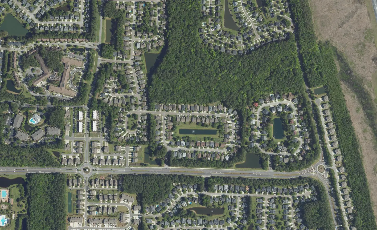
Park West, off Highway 41 and Park West Boulevard, is ZIP code 29466, zoned for Cario Middle and Wando High. Typical ZIP value: $835,506 in Sept. 2026.
Last checked Oct. 16, 2026. Sources: the Town of Mount Pleasant’s GIS map services (address points, subdivisions, zoning overlays, parks) and facilities directory, Charleston County Parks, Charleston County School District’s school lookup map, the South Carolina school report cards, Zillow Research and OpenStreetMap.
Park West is a large planned community on the east side of Highway 41 (S.C. 41), laid out along Park West Boulevard between Highway 41 and U.S. 17. The town’s subdivision map names Park West and about 40 sections inside it, and its zoning map marks a Bessemer neighborhood mixed-use overlay on Bessemer Road at the southwest corner. The area has 3,409 addresses in the town’s address file, all in ZIP code 29466.
What this means for you
- Zoned high school: Wando High, rated Excellent on its 2025 state report card, for every address we checked. Confirm yours with the district’s school lookup tool.
- Home value: $835,506 in ZIP code 29466 in September 2026, according to the Zillow Home Value Index.
- Nearest interstate exit: I-526 Exit 28, Long Point Road, about 7.1 miles by road from the Park West Recreation Complex.
Part of our Mount Pleasant neighborhoods guide.
Where it is
For this guide Park West is the Park West subdivision on the town’s map, plus nearby streets between Highway 41, Bessemer Road and Carolina Park to the east. The boundary lines are ours; the names come from the town. Main roads are Park West Boulevard, Bessemer Road, Highway 41 and Thomas Cario Boulevard, where three public schools sit side by side.
Laurel Hill County Park lies along the area’s south side. The town’s parks layer says the first known owner of Laurel Hill Plantation was John Boone, whose deed dates to 1694. Dunes West and Rivertowne are across Highway 41 to the west; see their page.
Schools
We checked all 3,409 addresses against Charleston County School District’s attendance boundaries in its school lookup map (elementary zones for 2026-27, middle and high school zones for 2025-26).
| Level | School | Share of addresses | 2025 state rating |
|---|---|---|---|
| Primary (pre-K to 2) | Laurel Hill Primary, 3100 Thomas Cario Blvd. | 98% | Not rated |
| Elementary (3 to 5) | Charles Pinckney Elementary, 3300 Thomas Cario Blvd. | 98% | Excellent |
| Elementary | Carolina Park Elementary, 3650 Park Avenue Blvd. | 2% | Excellent |
| Middle | Thomas C. Cario Middle, 3500 Thomas Cario Blvd. | 100% | Excellent |
| High | Wando High, 1000 Warrior Way | 100% | Excellent |
Laurel Hill Primary and Charles Pinckney Elementary split the grades: children go to Laurel Hill through grade 2 and to Pinckney for grades 3 to 5. Laurel Hill, which teaches only up to grade 2, has no overall rating. Ratings are the overall ratings on the state’s 2025 report cards; Wando’s 2025 graduation rate was 94.2%. More in our schools guide.
Home values
The Zillow Home Value Index for ZIP code 29466 was $835,506 in September 2026, up 0.9% from $827,979 in September 2025. Zillow’s figure for Mount Pleasant as a whole was $871,681. The index is a modeled typical value for the middle third of homes, not a sale price, and 29466 covers the whole north end of town. More in our home prices guide.
Parks and trails
From the town’s facilities directory and Charleston County Parks:
- Park West Recreation Complex, 1251 Park West Blvd.: a pool, a gym, two lighted tennis courts, ball fields, an outdoor track, a lake pavilion and walking trails. Pool: 843-856-2536.
- Laurel Hill County Park, next to the complex: open from sunrise to sunset, with $1 admission and children under 3 free. It has no restrooms and no accessible parking.
More in our parks and trails guide.
Getting around
- Interstate: I-526 Exit 28, Long Point Road, is about 7.1 miles by road from the Park West Recreation Complex, and Exits 29 and 30, the U.S. 17 interchange, about 7.9 miles. Exit numbers are as mapped on OpenStreetMap.
- Town offices, 100 Ann Edwards Lane: about 9.8 miles.
- Charleston International Airport, 5500 International Blvd., North Charleston: about 23.4 miles.
- Bus: no CARTA route runs through Park West. Route 42 (Wando Circulator) has a timed stop at U.S. 17 and Highway 41, south of the area, according to CARTA’s Route 42 brochure.
Distances are measured on the OpenStreetMap road network from the Park West Recreation Complex; they are distances, not drive times. More in our getting around guide.
Groceries and everyday stores
From OpenStreetMap:
- Supermarket: Publix, 1125 Park West Blvd., near U.S. 17.
- Pharmacies: CVS and Sweetgrass Pharmacy and Compounding, just east of the area toward Carolina Park.
More stores are on U.S. 17 by The Market at Oakland; see our Six Mile and Hamlin page.
Frequently asked questions
What schools serve Park West?
In Charleston County School District’s zones, 98% of the addresses we checked in Park West were zoned for Laurel Hill Primary (pre-K to grade 2) and Charles Pinckney Elementary (grades 3 to 5), and all of them for Thomas C. Cario Middle and Wando High. All three schools on Thomas Cario Boulevard are inside Park West.
Is Park West a good place to live?
Park West is a large planned community off Highway 41 that the town’s subdivision map names, with the town’s Park West Recreation Complex and Laurel Hill County Park beside it. It is zoned for Wando High, rated Excellent for 2025, and the typical home value in ZIP code 29466 was $835,506 in September 2026, according to Zillow.
What is at the Park West Recreation Complex?
The town’s complex at 1251 Park West Blvd. has a pool, a gym, two lighted tennis courts, ball fields, an outdoor track, a lake pavilion and walking trails. The pool’s number is 843-856-2536.
What is the typical home value in Park West?
Park West is in ZIP code 29466, where the Zillow Home Value Index was $835,506 in September 2026, up 0.9% from a year earlier. That figure covers the whole ZIP code.
Have your say