The Old Village is Mount Pleasant's historic district on the harbor, ZIP code 29464, zoned for Lucy Beckham High. Typical ZIP value: $933,192 in Sept. 2026.
Last checked Oct. 16, 2026. Sources: the Town of Mount Pleasant’s historic district page, Historic District Preservation Commission, GIS map services and Settlement Communities report, Charleston County School District’s school lookup map, the South Carolina school report cards, Zillow Research and OpenStreetMap.
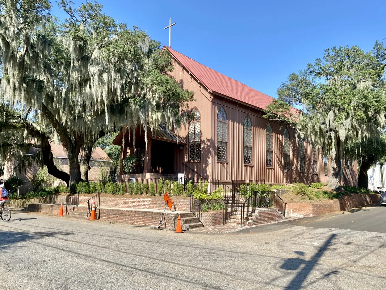
The Old Village is the oldest part of Mount Pleasant, on Charleston Harbor at the southwest end of town. The town’s historic district page says the local district, created in 1979, covers 37 blocks bounded by Shem Creek on the north, Whilden Street on the east, the old bridge and marsh on the south and the harbor on the west. Inside it is a smaller, 30-block area listed on the National Register of Historic Places on March 30, 1973. The oldest surviving house dates from 1759, the town says.
What this means for you
- Zoned high school: Lucy Garrett Beckham High, rated Excellent on its 2025 state report card, for every address we checked. Confirm yours with the district’s school lookup tool.
- Home value: $933,192 in ZIP code 29464 in September 2026, according to the Zillow Home Value Index.
- Nearest interstate exit: I-526 Exits 29 and 30, the U.S. 17 interchange, about 3.2 miles by road from Pitt Street.
Part of our Mount Pleasant neighborhoods guide.
Where it is
For this guide the Old Village is the town’s Old Village historic district overlay, the boundary drawn on its zoning map service. The town’s address file has 467 addresses inside it, all in ZIP code 29464. Pitt Street is the main street, with Coleman Boulevard along the north edge and Whilden Street, Royall Avenue and Center Street running through. The town’s land use plan marks Pitt Street as one of its neighborhood-scale “hubs.”
The town’s Settlement Communities report lists the Old Village among about a dozen historic African American communities in and around Mount Pleasant. Its history appendix says much of the area between Pitt Street and Simmons Street was first settled by African American families, that Friendship AME Church has stood on Royall Avenue since 1890, and that the Laing School, founded in 1866, taught in the Old Village until it moved to Six Mile in 1953. The bell of the Laing School stands in front of today’s Miriam Brown Center, the report says.
Rules that come with the area
The Old Village is a local historic district. The town’s Historic District Preservation Commission is an architectural review board that “reviews all exterior changes to buildings and property,” and its approval is needed before any demolition, construction or alteration starts. It meets at 5 p.m. on the second Monday of each month at the Municipal Complex, 100 Ann Edwards Lane, and submittals are due four weeks before a meeting. We found no homeowners association covering the district in the town’s records.
Schools
We checked all 467 addresses against Charleston County School District’s attendance boundaries in its school lookup map (elementary zones for 2026-27, middle and high school zones for 2025-26).
| Level | School | Share of addresses | 2025 state rating |
|---|---|---|---|
| Elementary | Mt. Pleasant Academy, 605 Center St. | 100% | Excellent |
| Middle | Moultrie Middle, 645 Coleman Blvd. | 100% | Excellent |
| High | Lucy Garrett Beckham High, 1560 Mathis Ferry Road | 100% | Excellent |
Ratings are the overall ratings on the state’s 2025 report cards. Beckham High’s 2025 graduation rate was 95.5%. More in our schools guide.
Home values
The Zillow Home Value Index for ZIP code 29464 was $933,192 in September 2026, up 3.0% from $906,136 in September 2025. Zillow’s figure for Mount Pleasant as a whole was $871,681. The index is a modeled typical value for the middle third of homes, not a sale price, and 29464 runs from the Old Village to Belle Hall, so it is a guide to the area, not a price for any one street. More in our home prices guide.
Parks and the waterfront
From the town’s parks layer and facilities directory:
- Alhambra Hall and park, 131 Middle St.: a hall and lawn on the harbor. The town says the grounds began in 1847 as a picnic grove under live oaks.
- James B. Edwards Park, 320 Royall Ave.: open space that was part of the original town common, the town says.
- Otis M. Pickett Bridge, 990 Pitt St.: the old Pitt Street bridge to Sullivan’s Island, now a pier and park. It carried a trolley from 1898 to 1927 and closed when the Ben Sawyer Bridge opened in 1945.
- Miriam Brown Community Center, 118 Royall Ave., with a playground and a lighted basketball court.
Shem Creek Park and its boardwalk are just across Coleman Boulevard. More in our parks and trails guide.
Getting around
- Interstate: I-526 Exits 29 and 30, the U.S. 17 interchange, are about 3.2 miles by road from Pitt Street; Exit 28, Long Point Road, is about 5.2 miles. Exit numbers are as mapped on OpenStreetMap.
- Town offices, the Municipal Complex at 100 Ann Edwards Lane: about 1.9 miles.
- Charleston International Airport, 5500 International Blvd., North Charleston: about 17.2 miles, over the Ravenel Bridge.
- Bus: no CARTA route runs through the district. Route 41 (Coleman Blvd) runs along Coleman Boulevard to downtown Charleston, with a timed stop at Mill Street by Shem Creek, according to CARTA’s maps and schedules.
Distances are measured on the OpenStreetMap road network from Pitt Street; they are distances, not drive times. More in our getting around guide.
Groceries and everyday stores
From OpenStreetMap:
- Pharmacy: Pitt Street Pharmacy on Pitt Street.
- Supermarkets nearby: none inside the district. Get Carried Away Southern Market is at 644 Coleman Blvd., and Harris Teeter (1220 Ben Sawyer Blvd.) and Publix (1435 Ben Sawyer Blvd.) are about a mile east.
- Library: the Charleston County Public Library’s Village Branch, 430 Whilden St., on the district’s east edge.
See also our guides to Shem Creek and history and landmarks.
Frequently asked questions
Where is the Old Village in Mount Pleasant?
On the harbor at the southwest end of town. The town’s local historic district is bounded by Shem Creek on the north, Whilden Street on the east, the old Pitt Street bridge and marsh on the south and Charleston Harbor on the west.
What schools serve the Old Village?
Every address we checked inside the historic district was zoned for Mt. Pleasant Academy, Moultrie Middle and Lucy Garrett Beckham High in Charleston County School District’s attendance zones. All three were rated Excellent on their 2025 state report cards.
What is the typical home value in the Old Village?
The Old Village is in ZIP code 29464, where the Zillow Home Value Index was $933,192 in September 2026, up 3.0% from a year earlier. The ZIP code covers much more than the Old Village, so it is a guide, not a price for any one street.
Do I need approval to change a house in the Old Village?
Yes, for exterior work. The town’s Historic District Preservation Commission reviews all exterior changes to buildings and property in the district, and its approval is needed before demolition, construction or alteration starts.
Have your say