Belle Hall, Snee Farm and the Long Point Road area are ZIP code 29464, zoned for Lucy Beckham High, by I-526 Exit 28. Typical value: $933,192 in Sept. 2026.
Last checked Oct. 16, 2026. Sources: the Town of Mount Pleasant’s GIS map services (address points, zoning overlays, land use plan hubs, subdivisions), Settlement Communities report and facilities directory, the National Park Service, Charleston County School District’s school lookup map, the South Carolina school report cards, Zillow Research and OpenStreetMap.
Long Point Road runs from I-526 toward the Wando River and Boone Hall, and the neighborhoods along it make up one of the larger areas in this guide: 5,667 addresses in the town’s address file, all in ZIP code 29464. The town’s zoning map marks a Belle Hall mixed-use overlay around the Long Point Road shopping centers, and its land use plan names Belle Hall a community-scale hub. The town’s subdivision map names Belle Hall Plantation and Snee Farm.
What this means for you
- Zoned high school: Lucy Garrett Beckham High, rated Excellent on its 2025 state report card, for every address we checked. Confirm yours with the district’s school lookup tool.
- Home value: $933,192 in ZIP code 29464 in September 2026, according to the Zillow Home Value Index.
- Nearest interstate exit: I-526 Exit 28, Long Point Road, about 1.1 miles by road from Belle Hall Elementary.
Part of our Mount Pleasant neighborhoods guide.
Where it is
For this guide the area runs north of U.S. 17 and east of I-526, from the U.S. 17 interchange up to the Wando River and east along Long Point Road to the edge of Boone Hall. The boundary lines are ours, drawn along those roads; the names come from the town. It includes the strip between I-526 and U.S. 17 along Whipple Road, where Lucy Garrett Beckham High stands at 1560 Mathis Ferry Road. Main roads are Long Point Road, Egypt Road, Whipple Road and Belle Hall Parkway.
The town’s Settlement Communities report includes Snowden, whose land was sold to freedmen by the South Carolina Land Commission in the late 19th century. The report says the community is home to the Long Point Road Schoolhouse, likely the last segregation-era one-room schoolhouse left east of the Cooper River. OpenStreetMap places Snowden near Long Point Road.
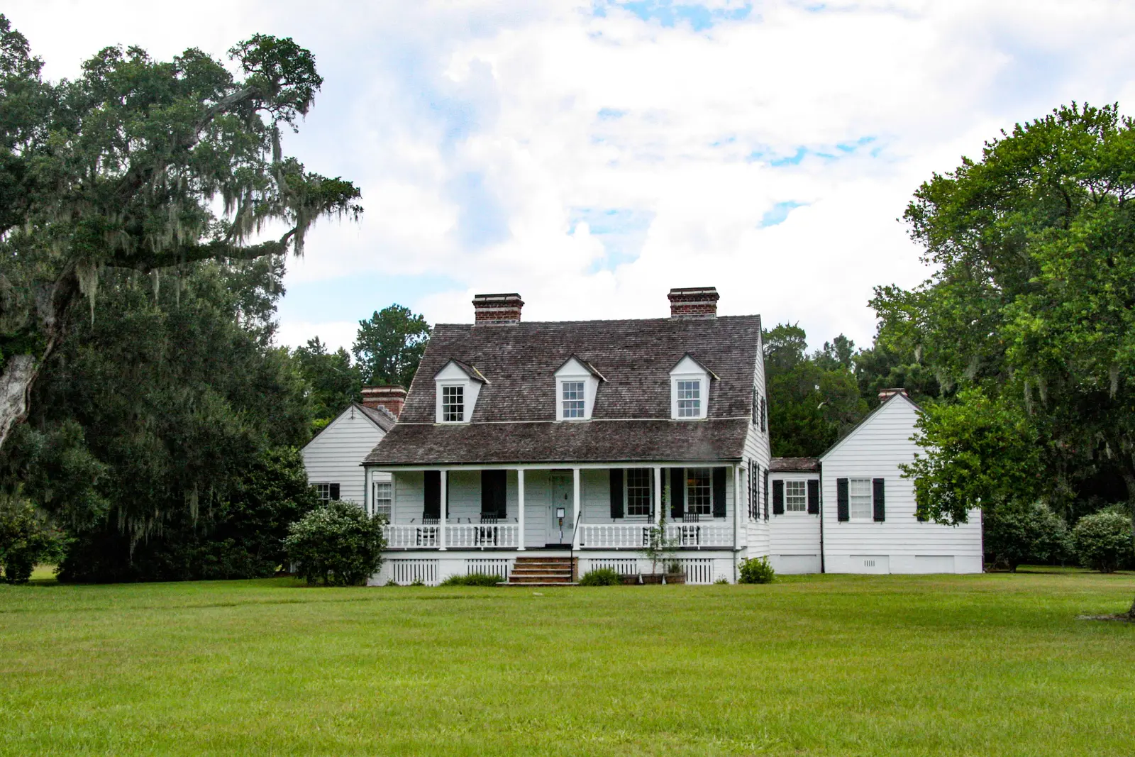
Charles Pinckney National Historic Site, 1254 Long Point Road, preserves part of Snee Farm, the country home of Charles Pinckney, a signer of the U.S. Constitution. It is run by the National Park Service.
Schools
We checked all 5,667 addresses against Charleston County School District’s attendance boundaries in its school lookup map (elementary zones for 2026-27, middle and high school zones for 2025-26). The area is split almost in half.
| Level | School | Share of addresses | 2025 state rating |
|---|---|---|---|
| Elementary | James B. Edwards Elementary, 855 Von Kolnitz Road | 51% | Excellent |
| Elementary | Belle Hall Elementary, 385 Egypt Road | 49% | Excellent |
| Middle | Moultrie Middle, 645 Coleman Blvd. | 51% | Excellent |
| Middle | Laing Middle, 2705 Bulrush Basket Lane | 49% | Excellent |
| High | Lucy Garrett Beckham High, 1560 Mathis Ferry Road | 100% | Excellent |
The Edwards zone goes with Moultrie Middle and the Belle Hall zone with Laing Middle. Ratings are the overall ratings on the state’s 2025 report cards; Beckham High’s 2025 graduation rate was 95.5%. With the line running through the area, check the exact address with the school lookup tool. More in our schools guide.
Home values
The Zillow Home Value Index for ZIP code 29464 was $933,192 in September 2026, up 3.0% from $906,136 in September 2025. Zillow’s figure for Mount Pleasant as a whole was $871,681. The index is a modeled typical value for the middle third of homes, not a sale price, and 29464 covers the whole south and west of town. More in our home prices guide.
Parks and trails
From the town’s facilities directory and parks layer, Charleston County Parks and the National Park Service:
- Palmetto Islands County Park, 444 Needlerush Parkway: 943 acres of boardwalks, bike paths, picnic sites and an off-leash dog park, run by Charleston County Parks. Admission is charged.
- R.L. Jones Center, 391 Egypt Road: the town’s recreation center and pool, 843-884-2528, with the free town skate park behind it.
- Mount Pleasant Tennis Complex, 889 Whipple Road, 843-856-2162.
- Charles Pinckney National Historic Site, 1254 Long Point Road; check the park’s hours page before you go.
Boone Hall Plantation, a private attraction, is at the east end of Long Point Road. More in our parks and trails guide.
Getting around
- Interstate: I-526 Exit 28, Long Point Road, is about 1.1 miles by road from Belle Hall Elementary; Exits 29 and 30, the U.S. 17 interchange, are about 4.1 miles. I-526 crosses the Wando River to Daniel Island and North Charleston. Exit numbers are as mapped on OpenStreetMap.
- Town offices, 100 Ann Edwards Lane: about 5.4 miles.
- Charleston International Airport, 5500 International Blvd., North Charleston: about 17.4 miles, by way of I-526.
- Bus: no CARTA route runs along Long Point Road. The nearest timed stop is Wando Crossing Shopping Center on U.S. 17 at I-526, served by Routes 40 and 41, according to CARTA’s maps and schedules.
Distances are measured on the OpenStreetMap road network from Belle Hall Elementary; they are distances, not drive times. More in our getting around guide.
Groceries and everyday stores
From OpenStreetMap:
- Supermarket: Harris Teeter, 620 Long Point Road, at the Belle Hall Shopping Center.
- Pharmacies: CVS and Longpoint Pharmacy by the Belle Hall Shopping Center; Walgreens, 1810 U.S. 17 N.; and a CVS on U.S. 17 near Indigo Square.
- Shopping centers: Belle Hall Shopping Center on Long Point Road and Indigo Square on U.S. 17.
More supermarkets are across U.S. 17 at Wando Crossing and near the Isle of Palms Connector; see our Seaside Farms and Rifle Range Road page.
Frequently asked questions
What high school is Belle Hall zoned for?
Lucy Garrett Beckham High, 1560 Mathis Ferry Road. Every address we checked in the Belle Hall and Long Point Road area was zoned for it in Charleston County School District’s attendance zones. It was rated Excellent on its 2025 state report card.
Which elementary school serves Belle Hall and Snee Farm?
The area is split almost evenly. In the district’s 2026-27 zones, 51% of the addresses we checked were zoned for James B. Edwards Elementary and 49% for Belle Hall Elementary, 385 Egypt Road, with Moultrie Middle or Laing Middle to match.
What I-526 exit serves Long Point Road?
Exit 28, Long Point Road. It is about 1.1 miles by road from Belle Hall Elementary.
What is the typical home value in Belle Hall?
Belle Hall is in ZIP code 29464, where the Zillow Home Value Index was $933,192 in September 2026, up 3.0% from a year earlier. That figure covers the whole ZIP code.
Have your say