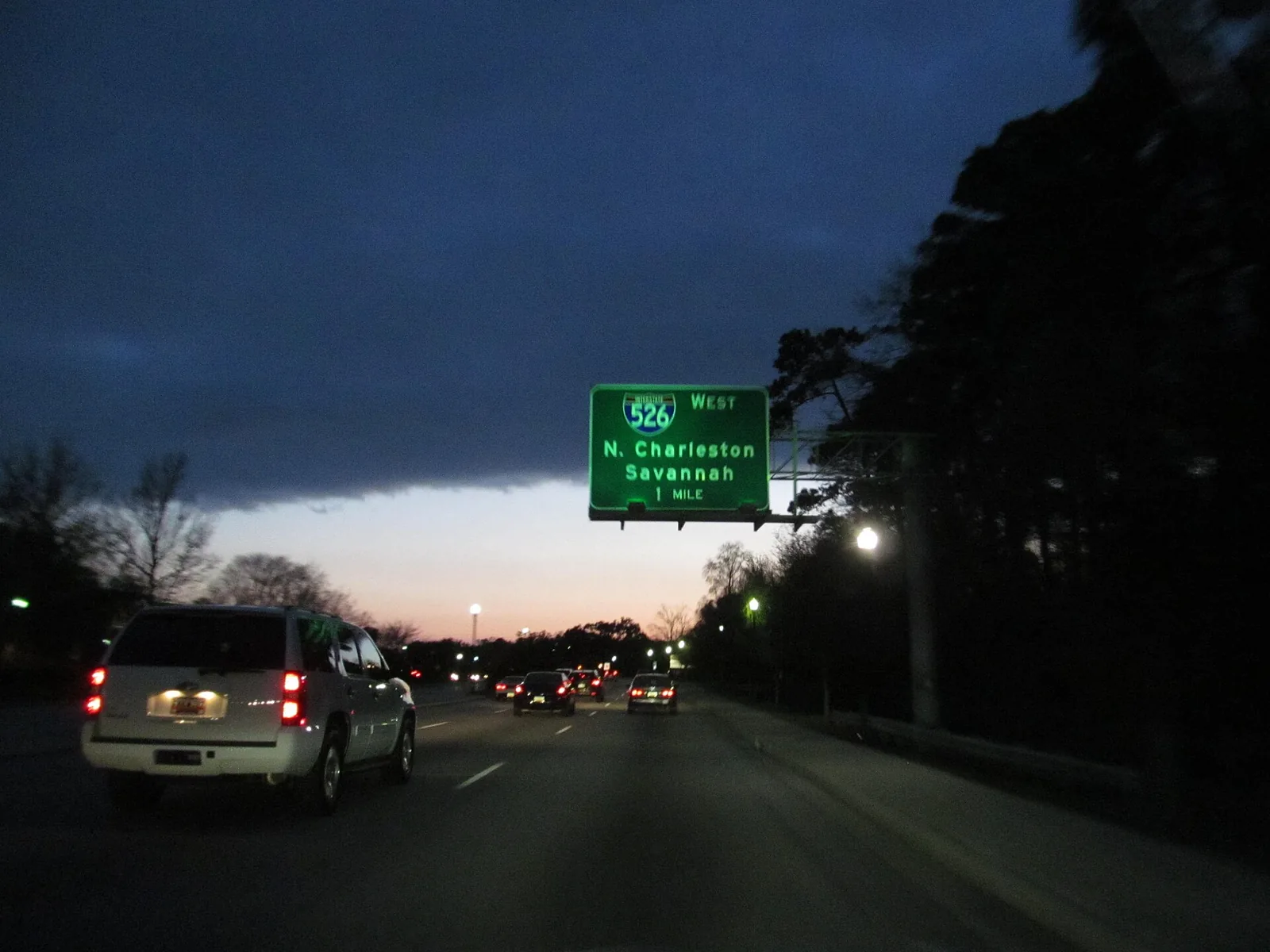
Long Point Road work at I-526 goes on, and high tides near 7 feet may flood low roads midday through Monday, Nov. 2, NOAA says. Town projects and who to call.
Last checked Oct. 31, 2026. Updated weekly. Sources: the Town of Mount Pleasant’s capital projects pages and news releases, the South Carolina Department of Transportation (SCDOT), the I-526 at Long Point Road project Charleston County’s projects under construction, SC 511 and the NOAA Charleston Harbor tide gauge.
Mount Pleasant’s busiest roads belong to the state. U.S. 17 (Johnnie Dodds Boulevard and the Ravenel Bridge approach), I-526, Coleman Boulevard and S.C. 41 are SCDOT roads. The town builds its own projects, many paid for in part by Charleston County’s transportation sales tax.
Who to call
- Live traffic, closures and crashes on interstates and state routes: dial 511, or 511sc.org
- State roads, potholes, signals on U.S. 17 and I-526: SCDOT customer service, 855-467-2368 (855-GO-SCDOT)
- Town road and trail projects: Engineering and Development Services, 843-856-3080
- County road projects: Charleston County Public Works, 843-202-7600
- Crash or hazard in the road: 911; police non-emergency, 843-884-4176
This week
High tides near flood stage Saturday through Monday. The NOAA forecast for the Charleston Harbor tide gauge shows the water reaching 7 feet, the minor flood stage, about noon Saturday, Oct. 31. It shows 6.9 feet about 1 p.m. Sunday and 6.8 feet about 2 p.m. Monday, just under minor flood stage and above the 6.5-foot action stage. NOAA predicts high tide at Charleston at 12:58 p.m. Saturday, 1:04 p.m. Sunday and 2:08 p.m. Monday. Daylight saving time ends at 2 a.m. Sunday, so Sunday and Monday times are standard time. As of early Saturday the National Weather Service in Charleston had not issued a coastal flood advisory; check weather.gov/chs before you drive. Low roads near the marsh and creeks can flood one to two hours either side of high tide. The weather service has a rip current statement for South Carolina beaches until 8 p.m. Saturday. Never drive through water on a road; turn around and find another route. The hurricane prep guide has the town’s emergency alert sign-up.
Long Point Road at I-526. Work continues on the town’s eastbound slip lane at the I-526 ramps (below). The interchange is the only access to the state ports’ Wando Welch Terminal, so it carries heavy truck traffic.
State work zones. We found no SCDOT notice of a new work zone in Mount Pleasant on Oct. 31, but the SC 511 construction list could not be read in text form, so we could not confirm whether SCDOT has one this week. Dial 511 or check 511sc.org before a trip on I-526 or U.S. 17.
Shem Creek Park floating dock. The town closed the floating dock at Shem Creek Park on Oct. 1 after it was damaged, and said it planned to remove it. The boardwalk and the rest of the park stay open, the town said.
The town posted no road closures in its news releases between Oct. 14 and Oct. 31. This section is rewritten every week from town, SCDOT, county and 511 notices.
Under construction now
| Project | Where | What is being built | Status the town posts |
|---|---|---|---|
| Long Point Road at I-526 ramp | Exit 28 | A slip lane from Long Point Road to eastbound I-526 and a sidewalk to Wando Park Boulevard | Under construction since summer 2026 |
| Billy Swails Boulevard 4B | Between Sweetgrass Basket Parkway and Billy Swails Boulevard | The last link of the old Hungryneck Boulevard corridor, a two-lane divided road with a 10-foot path, parallel to U.S. 17 | Under construction since June 2026; the town lists an 18-month build |
| Mathis Ferry and Von Kolnitz sidewalk | Mathis Ferry Road from Abcaw Way to Von Kolnitz Road | A shared-use path and a sidewalk to James B. Edwards Elementary | Began April 2026; the town’s schedule still says “summer 2026” for completion and it has not posted that work is done; expect shoulder and moving lane closures |
| Harry Hallman Boulevard crosswalks | Harry Hallman Boulevard | Raised crosswalks with flashing beacons | The town lists construction “beginning summer 2026” and has posted no update |
| National Drive turn lane | U.S. 17 at National Drive and Faison Road | A right-turn lane on National Drive | The town lists construction from August 2026 and has posted no update |
Coming next
- Park West Boulevard at Stockdale Street: a roundabout and new multi-use paths near the schools. The town expects construction from March 2027 to June 2028, at $13.2 million.
- U.S. 17 corridor safety: landscaped medians and turn channels on U.S. 17 between Ira Road and Six Mile Road and between Long Point Road and Carolina Park Boulevard. Design is expected to finish in December 2027.
- A new signal on U.S. 17 at Snee Farm Parkway and Palmetto Plantation Boulevard, in design.
- Long Point Road from Belle Hall Parkway to Whipple Road, and Coleman and Ben Sawyer boulevards with Chuck Dawley Boulevard: medians, turn lanes and paths, in design.
- 516 Coleman Blvd.: a rebuilt town parking lot with boat trailer spaces. The town says the project is being rebid and lists the construction start as fall 2026; no start date is posted.
I-526 at Long Point Road
SCDOT is planning a bigger rebuild of the Long Point Road interchange, Exit 28, to separate port trucks from local traffic. The Federal Highway Administration approved the project’s Finding of No Significant Impact on Aug. 22, 2024, and the project has moved to right-of-way acquisition, according to the I-526 Lowcountry Corridor EAST page. No construction date is posted.
Main roads to watch
- U.S. 17, from the Ravenel Bridge through the town to Awendaw.
- I-526, from U.S. 17 across the Wando and Cooper rivers to North Charleston and Daniel Island.
- Coleman Boulevard and Ben Sawyer Boulevard, to Shem Creek and Sullivan’s Island.
- Long Point Road, Rifle Range Road and S.C. 41, the routes into the northern neighborhoods.
What this means for you
- Avoid low roads near the marsh and creeks from about 10 a.m. to 3 p.m. Saturday, and around the early afternoon high tides Sunday and Monday. Do not drive into standing water.
- Leave extra time around Exit 28 on I-526 while the Long Point Road work goes on.
- Bicycle and walking paths are the theme of most town projects; check the Mount Pleasant Way map for what is open.
- Dial 511 before a trip over the Ravenel Bridge or the I-526 bridges.
Related guides: getting around Mount Pleasant, hurricane prep and who to call at Town Hall.
Frequently asked questions
How do I check road closures in Mount Pleasant?
Dial 511 or use 511sc.org for I-526, U.S. 17 and other state routes. The Town of Mount Pleasant posts closures for its own projects on each project page and in its news releases.
What is being built at Long Point Road and I-526?
The town is adding a slip lane from Long Point Road to eastbound I-526 and a sidewalk to Wando Park Boulevard. The town lists the project as under construction since summer 2026.
When will the I-526 and Long Point Road interchange be rebuilt?
SCDOT’s I-526 at Long Point Road project won federal environmental approval Aug. 22, 2024, and has moved to right-of-way acquisition. No construction start is posted.
Who fixes potholes on U.S. 17 in Mount Pleasant?
U.S. 17, I-526 and the other state routes belong to SCDOT. Report problems to SCDOT customer service at 855-467-2368.
Have your say